Geo Surveying Services is a single point of access to Geo-information. Geo Surveying Services acquires, processes and integrates geographic and spatial data, covering all geographic data development stages, including satellite imagery, Mapping, Topographic and Marine surveys, Surveying Equipment and Accessories, Remote Sensing, Training courses in GPS and GIS and consultancy.

GARMIN


Geo Survey
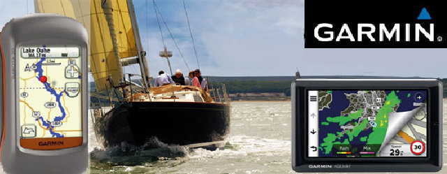
DAKOTA 20

The Garmin Dakota 20 is a smaller version of Garmin’s successful Oregon models. It appears poised to
replace the eTrex series, bringing all of the Oregon’s touch screen goodness while retaining the eTrex’s
small form factor, light weight and long battery life.