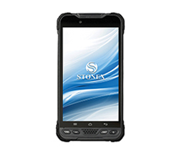
The UT10 is built to handle heavy work load over an extended period of time. It is designed to be drop resistant at heights of 1.5m with an IP68 protection.
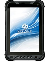
The UT30 is built to handle heavy work load over an extended period of time. It is designed to be drop resistant at heights of 1.2m with an IP67 protection.
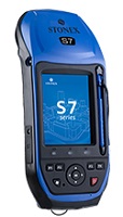
Stonex S7G GNSS receiver combine the modern positioning technology and versatility of a powerful handheld, perfect for collecting geographic data and operate fast and accurate measurements.
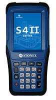
STONEX S4II is the new entry in the Stonex rugged handheld family. Integrated devices, suitable for all the jobs where a rugged and high performances Windows Mobile PC is required.
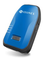
S500 is a versatile instrument, capable to offer high accuracies for the demanding users, switching from GIS to topographic Survey.
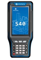
The S40 rugged and reliable design, combined with the IP67 Certification rating can withstand any harsh environment. STONEX S40 can be used in any situation wherever the field staff goes
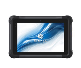
The UT20 is built to handle heavy work load over an extended period of time. It is designed to be drop resistant at heights of 1.2m with an IP67 protection rating and certified to MIL-STD.