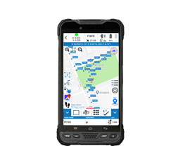
Cube-a is Stonex surveying and mapping software designed and developed for Android platform.
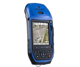
Stonex GeoGis is a powerful yet simple software solution for the collection of high quality feature and position data for GIS update and maintenance.
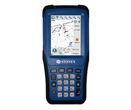
FieldGenius supports all common RTK GNSS and generic NMEA receivers, as well as all standard and robotic total stations.
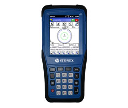
STONEX Surv CE is a customized version of the worldwide well known Carlson Surv CE, dedicated to the STONEX GNSS receivers and Total Stations.
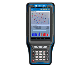
This is Android APP and it has been developed to connect Android devices to Stonex GPS receivers.
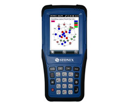
Cube-m is the solution for RTK surveying, stakeout, control and mapping, based on Windows Mobile platform.
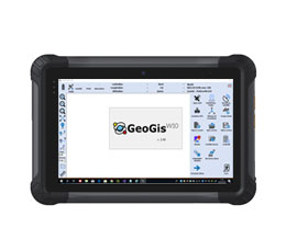
GIS users are usually involved in data collection and applications but they are less familiar with methodologies and acronyms typical of GPS systems. This is why GeoGisW10 offers to the user very clear and simple menus and an arrangement of survey functions with intuitive terminologies.