Geo Surveying Services is a single point of access to Geo-information. Geo Surveying Services acquires, processes and integrates geographic and spatial data, covering all geographic data development stages, including satellite imagery, Mapping, Topographic and Marine surveys, Surveying Equipment and Accessories, Remote Sensing, Training courses in GPS and GIS and consultancy.

3D Scanners


Geo Survey
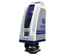
X300 LASER SCANNER

STONEX X300 is a 3D Scanner designed to deliver effective results every day, on any project.
Geo Survey
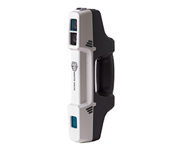
F6 HANDHELD SCANNER

STONEX F6 is the market leader 3D handheld scanner for fast scanning of big objects and large areas from short to far ranges.
Geo Survey
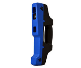
F6SR HANDHELD SCANNER

A superb 3D volumetric handheld scanner for highly detailed scans of minimal size objects