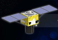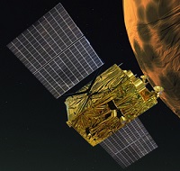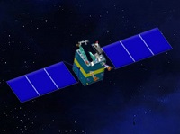
SuperView-1 (SV-1) is composed of 4 identical VHR EO satellites running along the same orbit and phrased 90° from each other.

Launched on 19 August 2014, GF-2 is equipped with 2 PAN/MS cameras, capable of collecting images with resolution of 0.80 m (nadir) in panchromatic and 3.24 m (nadir) in the multispectral bands on a swath of 45 km.

Launched in April 2013, GF-1 is equipped with two 2 m panchromatic and 8 m multispectral cameras (PMC), and 4 wide field imagers (WFI) with 16 m MS medium-resolution and a combined swath of 830 km.

Launched in January 2012, ZY-3 is the first civil high-resolution stereoscopic Earth mapping satellite of China. It carries three high-resolution panchromatic cameras and an infrared multispectral scanner (IRMSS).

Launched on 6 September 2008, HJ-1 is composed of 2 optical satellites HJ-1A and HJ-1B, and 1 radar satellite.