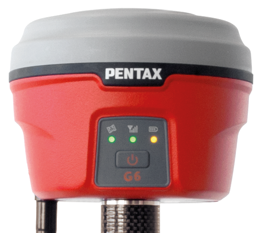
Rugged and lightweight compact receivers. Fast and stress-free RTK operation by taking advantage of TILT Sensor.
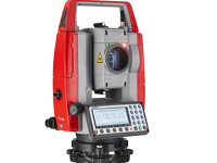
Long EDM range measuring distance: reflectorless up to 600 m and in prism mode up to 7,000 m
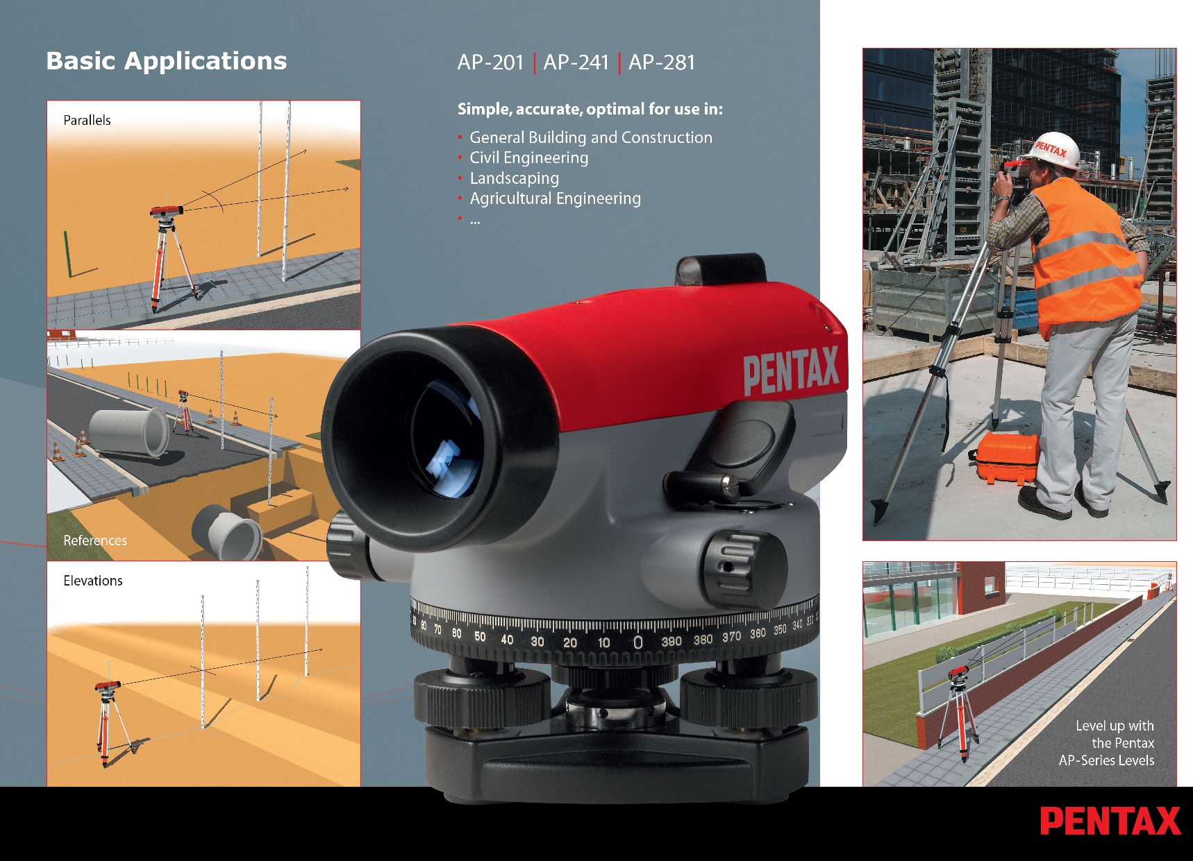
For Use under the Harshest Conditions Water-proof sealed telescope: protection class IPX6
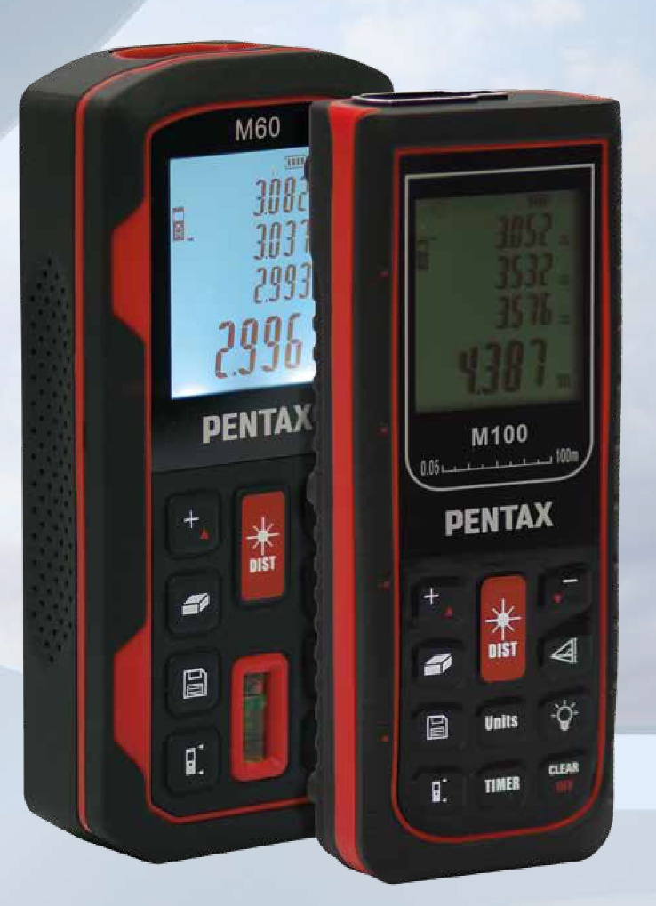
Flexible Range: 60m (M-60) /100m (M-100) quick laser measurement within 3 seconds
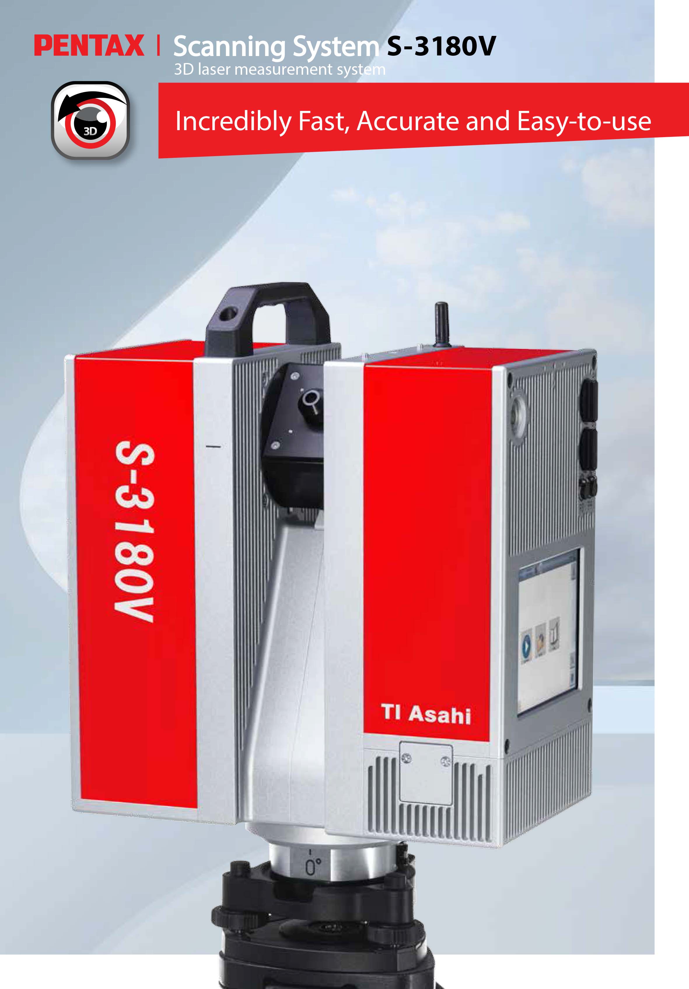
Rotating i – Cam The camera is fully embedded within the rotor, and therefore well protected against environmental influences. In order to achieve a perfect image quality, even under difficult lighting conditions, the camera provides full HDR panoramic images of up to 80 Mpixel per scan.
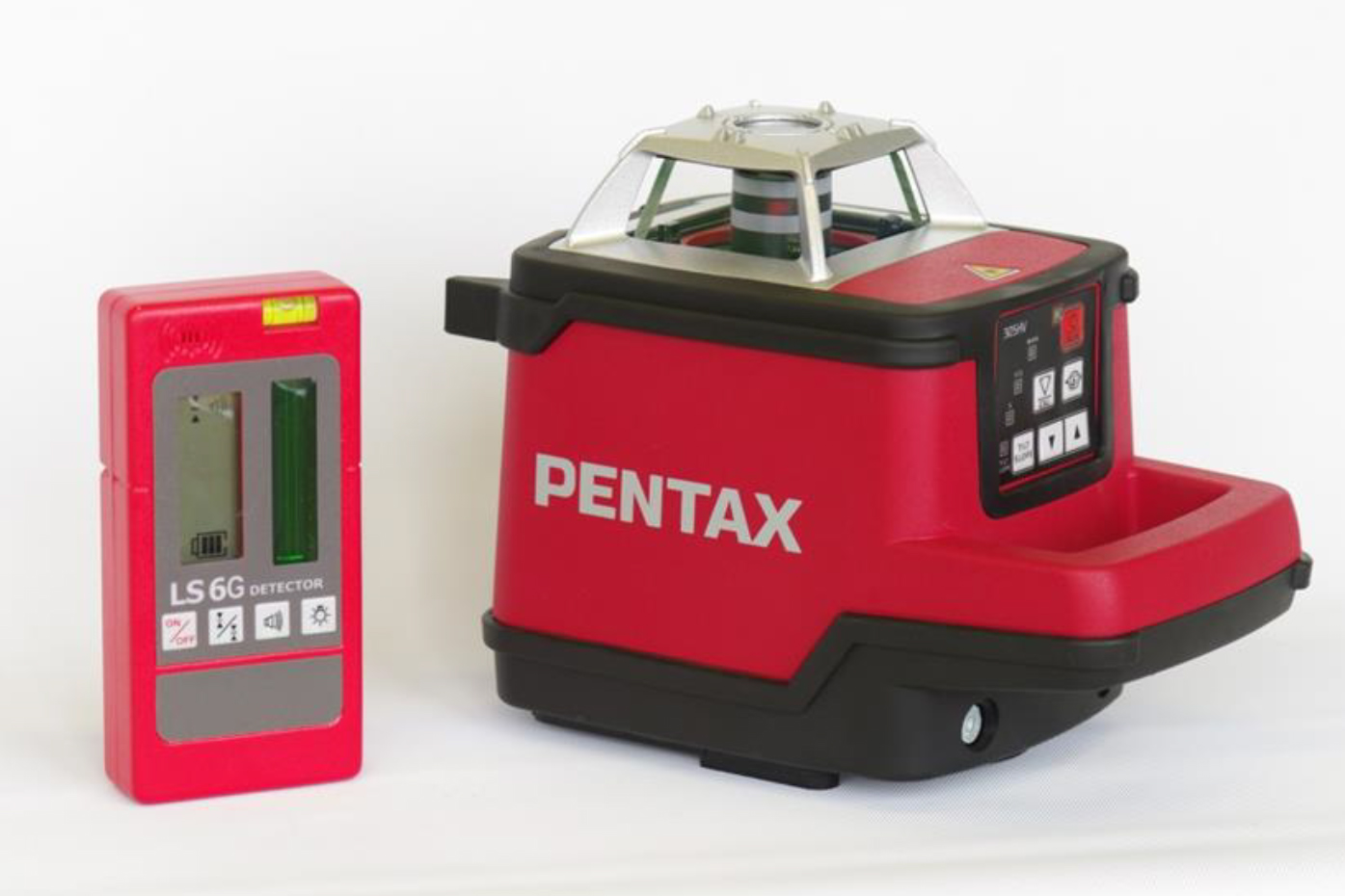
Reliable Wide Range Laser Level, Range 600m, Leveling both vertical and horizontal, Red(PLP-100) / Green(PLP-100G, Built-in Self-leveling system
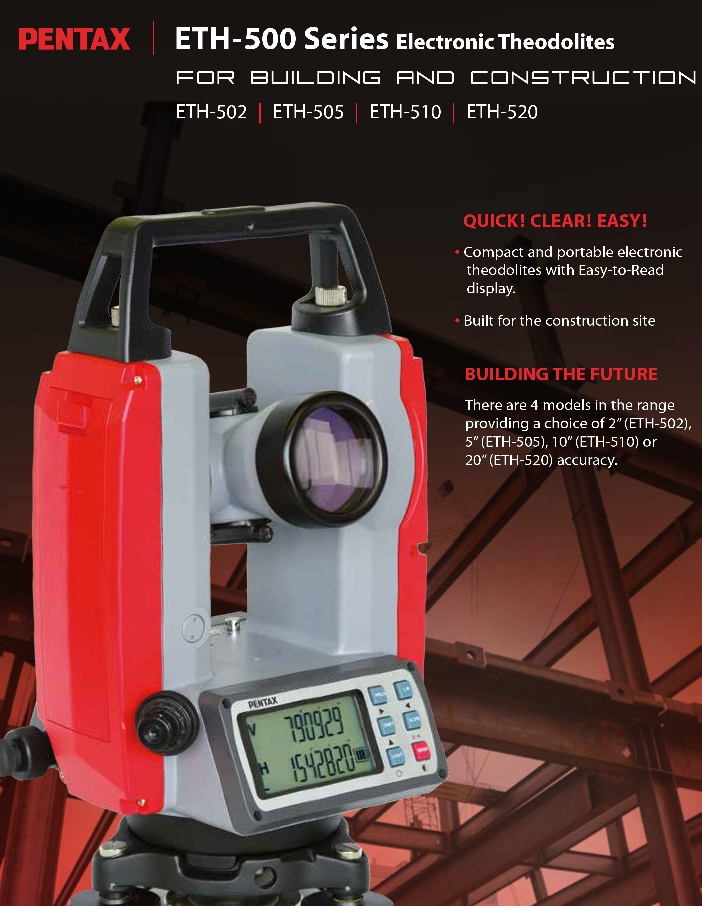
Compact and portable electronic theodolites with Easy-to-Read display. Built for the construction site