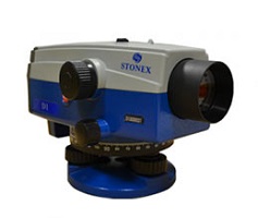
STONEX D1 digital autolevel is the recommended leveling instrument for contractors, builders, professionals land surveyors and Engineers who demand accurate leveling every time.

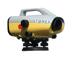
Stonex D2 digital level is the right solution to use when you need to measure gradients or height with better precision compared to GPS systems.

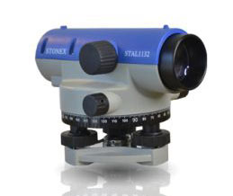
The new STAL 1000/1100 Series autolevels are immediate to set up and use.

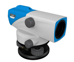
Auto Level with the highest performances for easy measurements in any construction and survey applications.