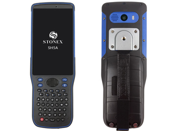
STONEX SH5A
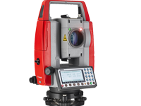
PENTAX 2500NS
Handheld Algiz-RT8
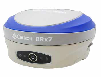
Carlson BRx7
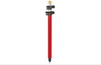
Mini Prism Pole
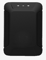
X3, a multifunctional GPS tracker, is optimized for vehicle tracking. It provides accurate real-time location, two-ways communication and driving behavior event, supports multiple sensors such as G-sensor and door-sensor.
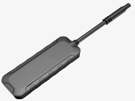
Perfect for car rental, fleet management and logistics, the best-in-class GPS device WeTrack Lite is compact and lightweight, which only weights 26.6g.
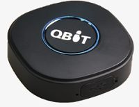
The newly-launched Qbit Personal GPS Tracker will give you a completely new level of awareness and convenience. It stands out by compact, lightweight design for both excellent mobility and reliability.
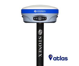
STONEX SURVEYING SYSTEMS S990A GNSS Receiver High Performance with Atlas® and IMU Stonex S990A is a 800 Channels GNSS receiver characterized by a new feature that enhance the performances of field surveys. The new IMU System allows tilted measurement (TILT) up to 60°: quick initialization, fast and precise survey.
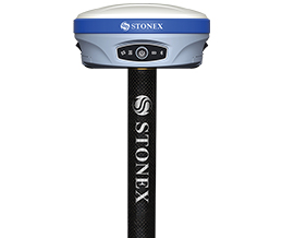
S900 is the result of the continuous evolution of the Stonex GNSS integrated receivers. Featuring a high accuracy multi constellation antenna, a powerful UHF dual frequency transmitter and a GSM 4G modem, for a fully integrated multi-communication choice.
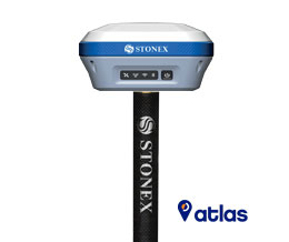
The advanced receiver design gives S850A excellent signal tracking ability and interference resistant capacity. Advantages of portability and speed of operation make S850A GNSS receiver particularly suitable for fieldwork
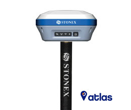
Stonex S700A is a compact, high-performance GNSS receiver features a multi constellation 700 channels GNSS board.
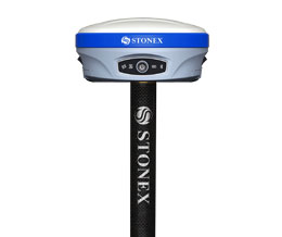
Stonex S900-SE integrated GNSS receiver tracks all the present constellations and satellite signals
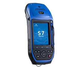
Stonex S7G GNSS receiver combine the modern positioning technology and versatility of a powerful handheld, perfect for collecting geographic data and operate fast and accurate measurements.
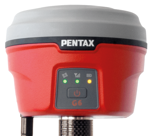
Rugged and lightweight compact receivers. Fast and stress-free RTK operation by taking advantage of TILT Sensor.
Surveying Accessory-Nail
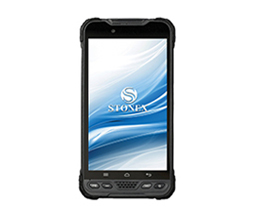
The UT10 is built to handle heavy work load over an extended period of time. It is designed to be drop resistant at heights of 1.5m with an IP68 protection.
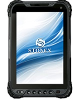
The UT30 is built to handle heavy work load over an extended period of time. It is designed to be drop resistant at heights of 1.2m with an IP67 protection.
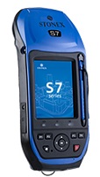
Stonex S7G GNSS receiver combine the modern positioning technology and versatility of a powerful handheld, perfect for collecting geographic data and operate fast and accurate measurements.
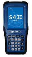
STONEX S4II is the new entry in the Stonex rugged handheld family. Integrated devices, suitable for all the jobs where a rugged and high performances Windows Mobile PC is required.
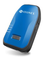
S500 is a versatile instrument, capable to offer high accuracies for the demanding users, switching from GIS to topographic Survey.
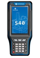
The S40 rugged and reliable design, combined with the IP67 Certification rating can withstand any harsh environment. STONEX S40 can be used in any situation wherever the field staff goes
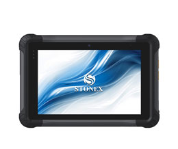
The UT20 is built to handle heavy work load over an extended period of time. It is designed to be drop resistant at heights of 1.2m with an IP67 protection rating and certified to MIL-STD.
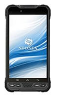
The UT10 is built to handle heavy work load over an extended period of time. It is designed to be drop resistant at heights of 1.5m with an IP68 protection.
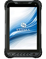
The UT30 is built to handle heavy work load over an extended period of time. It is designed to be drop resistant at heights of 1.2m with an IP67 protection.
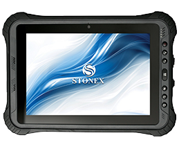
The UT50 is built to handle heavy work load over an extended period of time. It is designed to be drop resistant at heights of 1.2m with an IP68 protection.
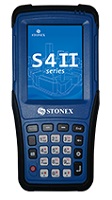
STONEX S4II is the new entry in the Stonex rugged handheld family. Integrated devices, suitable for all the jobs where a rugged and high performances Windows Mobile PC is required.
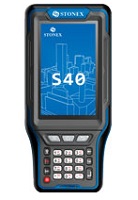
The S40 rugged and reliable design, combined with the IP67 Certification rating can withstand any harsh environment. STONEX S40 can be used in any situation wherever the field staff goes
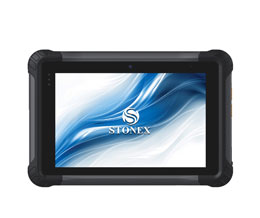
The UT20 is built to handle heavy work load over an extended period of time. It is designed to be drop resistant at heights of 1.2m with an IP67 protection rating and certified to MIL-STD.
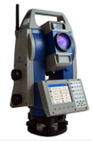
R80 combines the power of a Total Station and the capabilities of a remote control. The monitoring of large and small structural works has never been so simple and accurate.
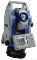
Now with Endless Friction Drives and Trigger Key Stonex R35/R35LR series is the most customizable Total Station of the market.
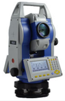
Cadastral, mapping, staking out, and up to high precision monitoring works: within the range of R25/R25LR Series, you will find the solution that fits your needs.
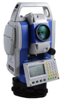
The companion of every professional Surveyor. Stonex R15 Total Station, precise distance and angles measurements, concentrated in 5 Kg of pure technology.
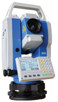
Stonex R1 Plus Total Station, precise distance and angles measurements, concentrated in 5 Kg of pure technology.
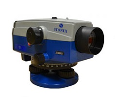
STONEX D1 digital autolevel is the recommended leveling instrument for contractors, builders, professionals land surveyors and Engineers who demand accurate leveling every time.
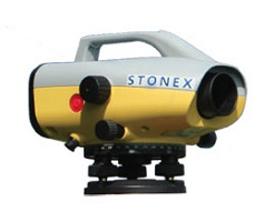
Stonex D2 digital level is the right solution to use when you need to measure gradients or height with better precision compared to GPS systems.
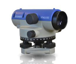
The new STAL 1000/1100 Series autolevels are immediate to set up and use.
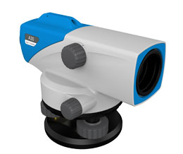
Auto Level with the highest performances for easy measurements in any construction and survey applications.
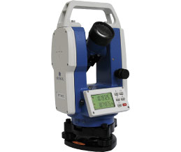
STT402L offers the opportunity to challenge high-precision monitoring and engineering works. Thanks to its absolute encoder, angle measurements are saved when STT402L is switched off.
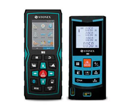
STONEX M4 and M6 Laser Distance meters are the best Surveyor’s friends whenever there is an inaccessible point to be quickly measured.
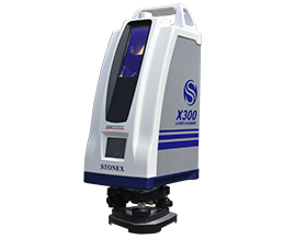
STONEX X300 is a 3D Scanner designed to deliver effective results every day, on any project.
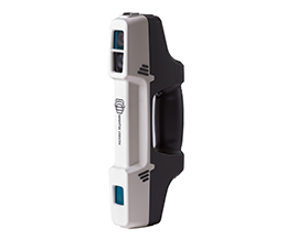
STONEX F6 is the market leader 3D handheld scanner for fast scanning of big objects and large areas from short to far ranges.
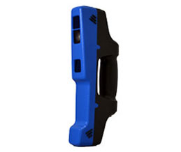
A superb 3D volumetric handheld scanner for highly detailed scans of minimal size objects
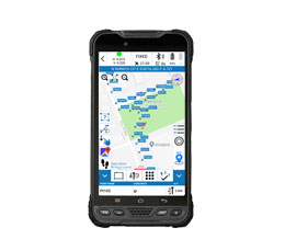
Cube-a is Stonex surveying and mapping software designed and developed for Android platform.
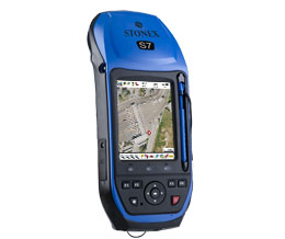
Stonex GeoGis is a powerful yet simple software solution for the collection of high quality feature and position data for GIS update and maintenance.
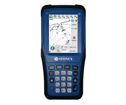
FieldGenius supports all common RTK GNSS and generic NMEA receivers, as well as all standard and robotic total stations.
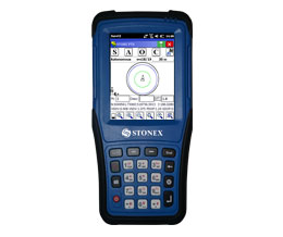
STONEX Surv CE is a customized version of the worldwide well known Carlson Surv CE, dedicated to the STONEX GNSS receivers and Total Stations.
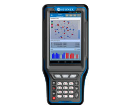
This is Android APP and it has been developed to connect Android devices to Stonex GPS receivers.
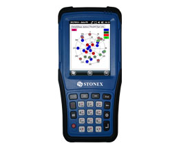
Cube-m is the solution for RTK surveying, stakeout, control and mapping, based on Windows Mobile platform.
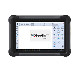
GIS users are usually involved in data collection and applications but they are less familiar with methodologies and acronyms typical of GPS systems. This is why GeoGisW10 offers to the user very clear and simple menus and an arrangement of survey functions with intuitive terminologies.
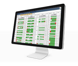
GNSMART2 is a software that enables the consistent and seamless estimation of GNSS errors (rigorous solution) and provides both OSR and SSR corrections.
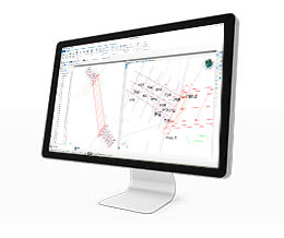
Cube-link is a free version of Cube-manager for downloading data from GNSS and Total Station to personal computers.
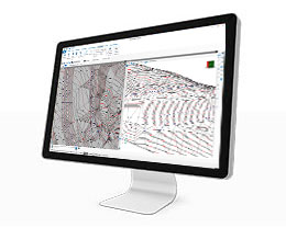
Cube-manager is a software for managing data from GNSS receivers and Total Stations.
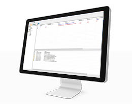
Entirely designed and developed by the Stonex R & D department, NTRIP Caster is the ideal software for GNSS NTRIP network management.
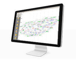
Cube –net is GNSS software for centrally controlling and operating GNSS reference stations and networks.
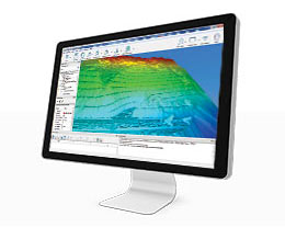
STONEX RECONSTRUCTOR SOFTWARE will guide you trough a complete and clear workflow with expandable modules suited to your needs.