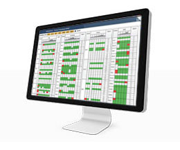
GNSMART2 is a software that enables the consistent and seamless estimation of GNSS errors (rigorous solution) and provides both OSR and SSR corrections.
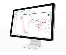
Cube-link is a free version of Cube-manager for downloading data from GNSS and Total Station to personal computers.
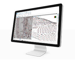
Cube-manager is a software for managing data from GNSS receivers and Total Stations.
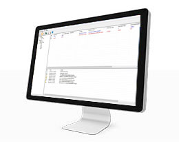
Entirely designed and developed by the Stonex R & D department, NTRIP Caster is the ideal software for GNSS NTRIP network management.
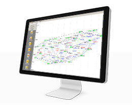
Cube –net is GNSS software for centrally controlling and operating GNSS reference stations and networks.
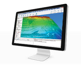
STONEX RECONSTRUCTOR SOFTWARE will guide you trough a complete and clear workflow with expandable modules suited to your needs.