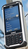
The Nautiz X8 rugged handheld delivers the largest, most brilliant capacitive touchscreen in its class. This rugged PDA offers an unprecedented combination of processing power, connectivity and a tough IP67 ruggedness rating.

The Nautiz X6 brings the best of a conventional tablet and a traditional rugged handheld in a single device. It has the large-screen functionality of a tablet, with the work-anywhere ruggedness of a handheld.

The Nautiz X9 rugged computer is a tough-as-nails Android PDA that can handle any environment a field worker might encounter. Loaded with all the enterprise-level capabilities available, it delivers best-in-class field performance with a battery that works through even your longest shifts. The Nautiz X9 is a rugged mobile computer, a data collector or field controller designed for use in the most challenging demanding environments.
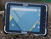
The Algiz RT8 is a unique 8-inch Android tablet computer built specifically to increase fieldwork efficiency.
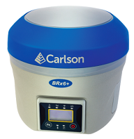
The BRx6+ smart antenna expands GNSS capabilities from the prior BRx6 for premium GNSS RTK performance with triple-frequency tracking and measurement on multiple satellite constellations.
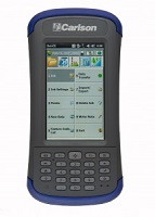
The Carlson MINI2 data collector is small, but mighty, and designed to boost productivity and speed with extra-bright screen, long-lasting battery, and improved GPS technology to perform better in natural surroundings
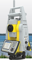
The advanced positioning technology of STReAM360, X-motion hybrid drives & accXess EDM Technology incorporated in Carlson’s super reliable CR+ series robotic total stations provides the most efficient way to survey. Carlson works for you.
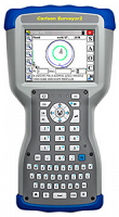
The Carlson Surveyor 2 is even more rugged than its popular predecessor — IP68 water & dustproof; shock resistant. Still just 2 pounds and the QWERTY keyboard speeds data entry.
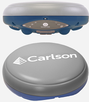
The Carlson NR3 is a compact GNSS Smart Antenna designed for Network Rover applications.
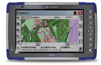
Mobile data collection with more power, faster performance in the harshest conditions
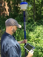
Carlson Listen-Listen and Carlson RTK Network are unique cloud based low latency services
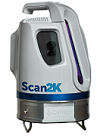
The Carlson Scan2K bridges the gap between small, light-weight, short-range sensors and large, long-range, pulsed time-of-flight scanners.
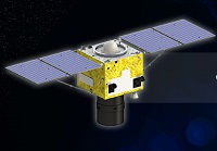
SuperView-1 (SV-1) is composed of 4 identical VHR EO satellites running along the same orbit and phrased 90° from each other.
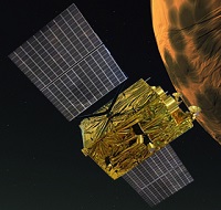
Launched on 19 August 2014, GF-2 is equipped with 2 PAN/MS cameras, capable of collecting images with resolution of 0.80 m (nadir) in panchromatic and 3.24 m (nadir) in the multispectral bands on a swath of 45 km.
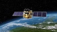
Launched in April 2013, GF-1 is equipped with two 2 m panchromatic and 8 m multispectral cameras (PMC), and 4 wide field imagers (WFI) with 16 m MS medium-resolution and a combined swath of 830 km.
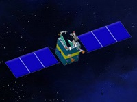
Launched in January 2012, ZY-3 is the first civil high-resolution stereoscopic Earth mapping satellite of China. It carries three high-resolution panchromatic cameras and an infrared multispectral scanner (IRMSS).

Launched on 6 September 2008, HJ-1 is composed of 2 optical satellites HJ-1A and HJ-1B, and 1 radar satellite.
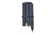
GLS66 Carbon Fiber GPS Pole
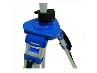
SJP90 Aluminum Telescoping Antenna Tripod
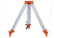
SJA50 Aluminum Tripod
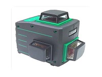
LP363G Green Plane Line Laser(3 Cone)
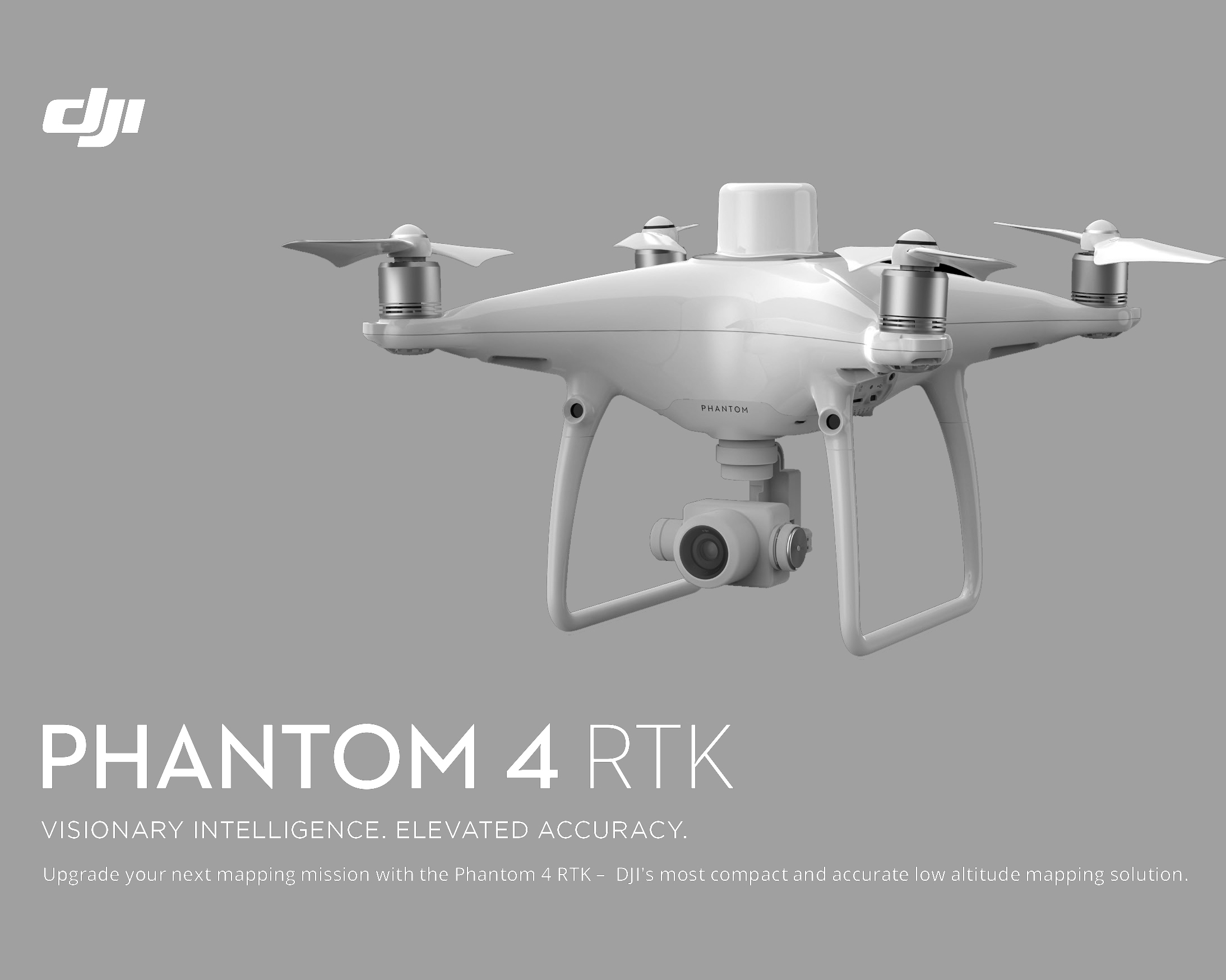
DJI has rethought its drone technology from the ground-up, revolutionizing its systems to achieve a new standard for drone accuracy – offering Phantom 4 RTK customers centimeter-accurate data while requiring fewer ground control points.
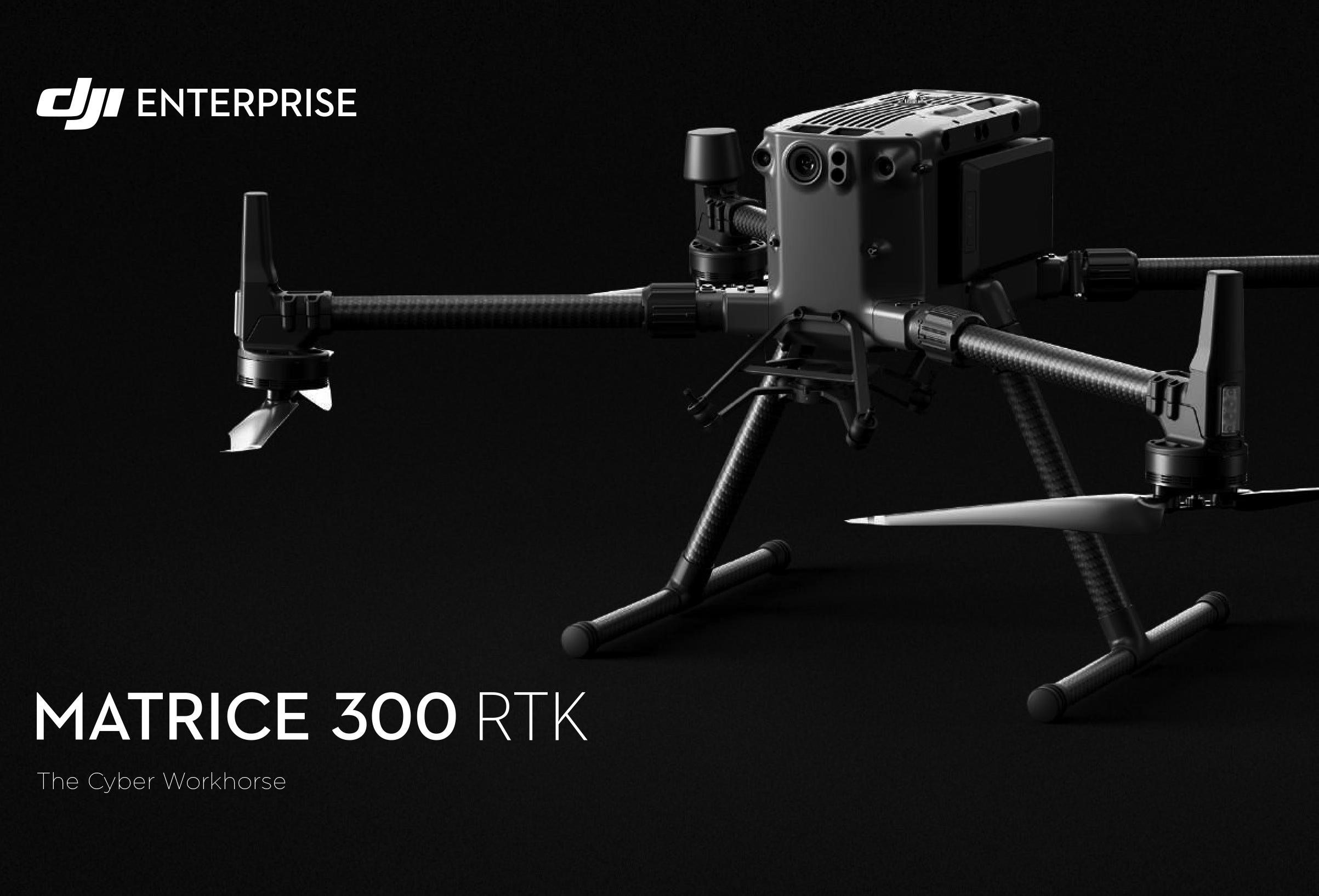
The Matrice 300 RTK is DJI’s latest commercial drone platform that takes inspiration from modern aviation systems. Offering up to 55 minutes of flight time, advanced AI capabilities, 6 Directional Sensing & Positioning and more, the M300 RTK sets a whole new standard by combining intelligence with high-performance and unrivaled reliability.
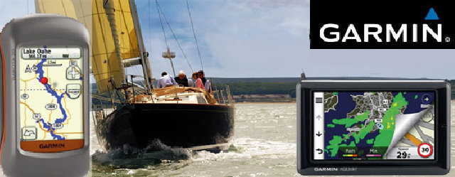
The Garmin Dakota 20 is a smaller version of Garmin’s successful Oregon models. It appears poised to
replace the eTrex series, bringing all of the Oregon’s touch screen goodness while retaining the eTrex’s
small form factor, light weight and long battery life.
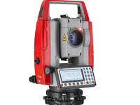
Long EDM range measuring distance: reflectorless up to 600 m and in prism mode up to 7,000 m
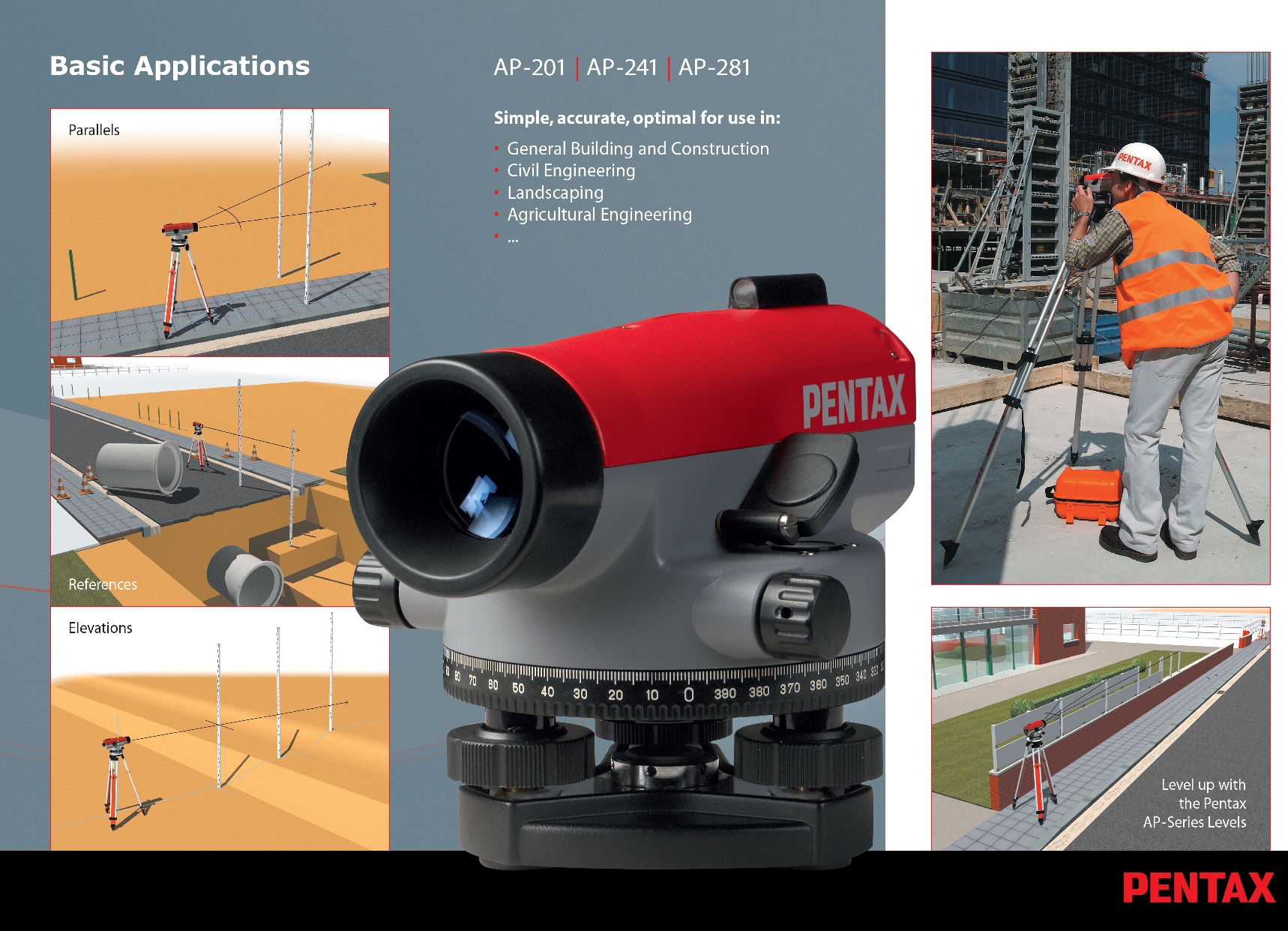
For Use under the Harshest Conditions Water-proof sealed telescope: protection class IPX6
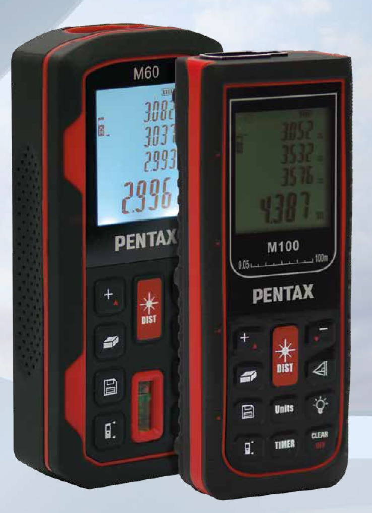
Flexible Range: 60m (M-60) /100m (M-100) quick laser measurement within 3 seconds
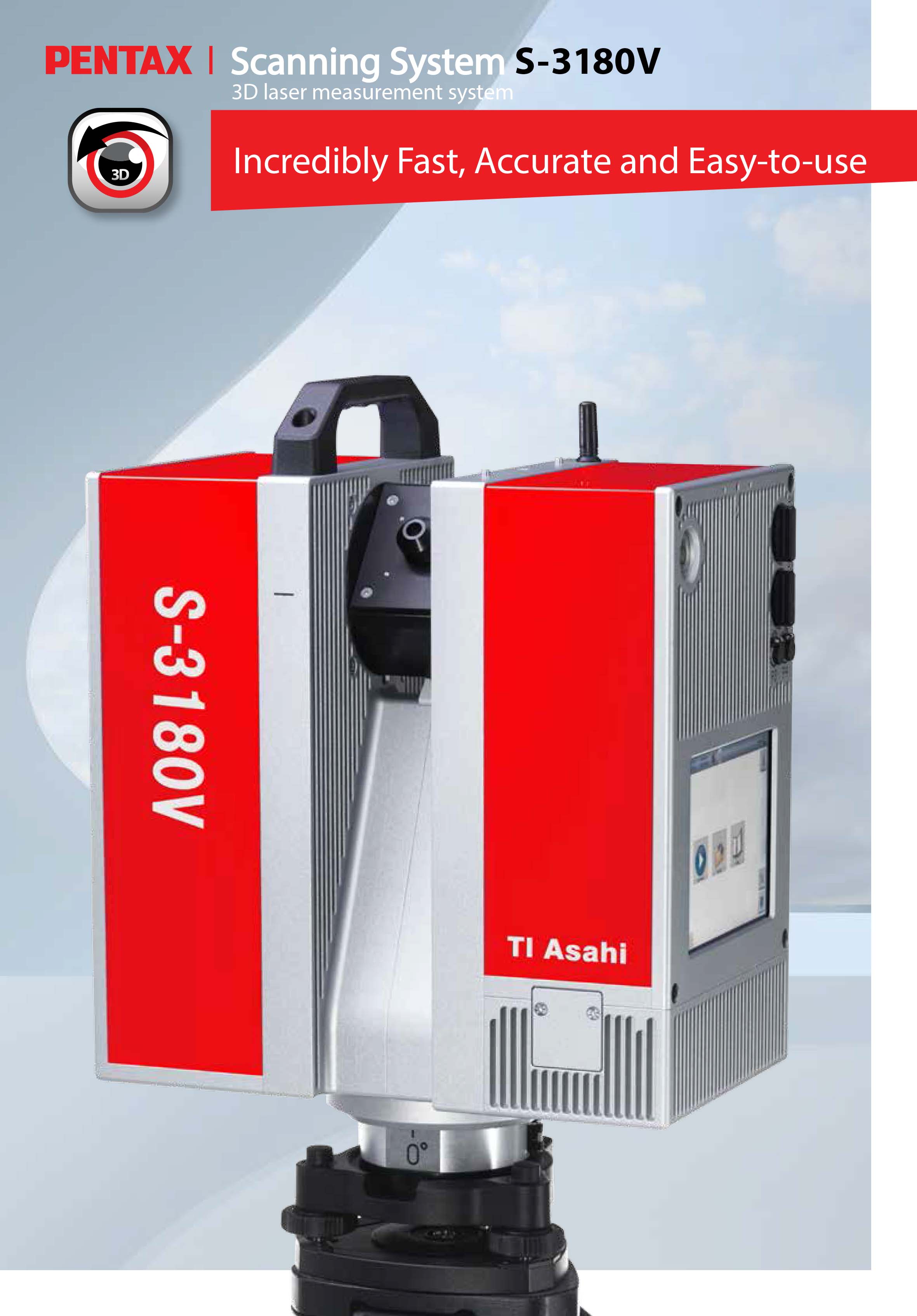
Rotating i – Cam The camera is fully embedded within the rotor, and therefore well protected against environmental influences. In order to achieve a perfect image quality, even under difficult lighting conditions, the camera provides full HDR panoramic images of up to 80 Mpixel per scan.
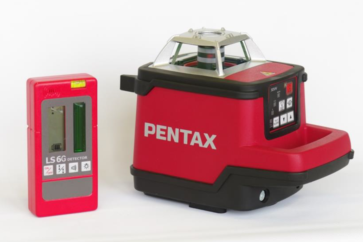
Reliable Wide Range Laser Level, Range 600m, Leveling both vertical and horizontal, Red(PLP-100) / Green(PLP-100G, Built-in Self-leveling system

Compact and portable electronic theodolites with Easy-to-Read display. Built for the construction site
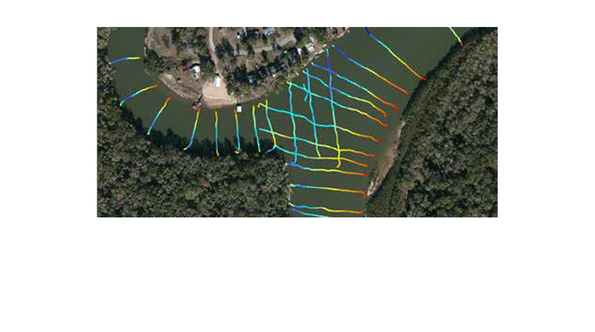
Portable, integrated hydrographicsurvey solution, adaptable to any vessel, wireless data transfer, meets IP-65 standards, quickly export xyz data